IUGG Gold Medalist
| Date | Time | Gold Medal Lecture |
| Saturday, 15 July | 13:30-14:30 | Valérie Masson-Delmotte From the IPCC AR6 to the IPCC AR7: the physical science basis of climate change empowering transformations |
Union Lecturers
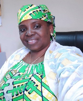
Rakiya Abdullahi Babamaaji (IUGG)
Monitoring the Spatio-Temporal Changes in Lake Chad Basin (LCB) Using Geospatial Techniques
This study shows how to track the spatiotemporal changes in the Lake Chad Basin using remote sensing, geospatial techniques, and Google Earth Engine. In sub-Saharan Africa, the Lake Chad Basin has seen substantial environmental changes in recent years, including decreasing water bodies and degrading terrain. Understanding the dynamics of the environment and promoting sustainable management solutions depend on monitoring these changes. In order to understand the size and changes in the Lake Chad Basin, remote sensing data, such as satellite images obtained from a variety of sensors, including Landsat and Sentinel were use for the purpose of analysing the Spatio-temporal patterns of the basin. For effective processing and analysis of massive datasets, Geospatial processing and Google Earth Engine, a cloud-based geospatial data analysis tool was used. The platform (Google Earth Engine) permits the combination of geospatial algorithms, computing resources, and remote sensing data, enabling the development of precise and fast evaluations of the basin’s changes. The aim of the study is to monitor the spatio-temporal changes in LCB using geo-spatial techniques and Google Earth Engine and track the changes in the surface area and water levels of the lake over time as well as to evaluate the climatic factors that control the changes in the lake. The result reveals a fluctuation in the surface water extent of the Basin with 2012 having the least extent with an estimated area of 3417.14 Km2 while the total water surface area increased during the period of 2017 to 2021 is approximately 6412.76 km2. In general, the research reveals that the water surface area has increased over the years in response to changes in rainfall, Land surface temperature, NDVI and Evapotranspiration in the basin base on the regression analysis carried out to compare the Water body to the climatic factors.
Dr. Rakiya Abdullahi Babamaaji is a Deputy Director, Strategic Space Applications Department, National Space Research and Development Agency (NASRDA). Her expertise is in Geology, Water Resources applications, Environmental Assessment, Remote Sensing and GIS. A resource person for capacity building development in the department.
She has worked as a graduate research assistant at Hydrolab, University of Missouri Kansas City (UMKC), USA (2008 – 2012) and also work as part time teaching assistant, geology department, Missouri Community College Maplewood Campus, Kansas City, USA from January – June 2014. Taught basic geology and GIS/RS. During her period of research assistant at UMKC. She conducts researches amongst which are: Hydrological modelling and LULC of Lake Chad Basin (LCB) supported by NASRDA/NSF/NASA, Hydrological modelling of Katsina-ala river basin: an emerging scenario from Lake Nyos threat supported by NASRDA/UMKC. Dr Rakiya was an intern from May – August 2005 with Canadian Space Agency (CSA), Commercialization Office (GRIP) and carried out research project under TIGER (ESA/CSA Initiative) Water Related Issues and Space (Remote Sensing) application in Africa.
Presently she is the vice chair Africa Union Science and Technology Advisory Group on Disaster Risk Reduction as well as a member of Project Implementation Team (PIT) for Geo-referenced Infrastructure and Demographic Data for Development (GRID3) Nigeria. She is the coordinator, CropWatch Nigeria program and Principal Investigator for LCB project, a National Space Research and Development Agency (NASRDA) focal point for World Bank Nigeria ACReSAL project. She is also one of two African Scientists recently invited into United Nations Disaster Risk Reduction Global Risk Assessment Framework (UNDRR GRAF) Steering Group. A vice chair of ITU/WMO/UNEP Focal Group on Artificial Intelligence for Natural Disaster Management (FG-AI4NDM).
Dr. Rakiya holds a Doctorate degree in Geosciences and Civil Engineering from UMKC, Missouri, USA, a Masters (MSc) in Environmental Resources Management from Lagos State University (LASU) Ojo, Nigeria and another Masters (MSc in Space Management from International Space University (ISU), Strasbourg, France. B.Tech in Geology from Federal University of Technology Yola, Adamawa, Nigeria. She has Certificate in Concept & Skill in Applied Earth Science from Earth Observation (ITC), Enschede, Netherlands. She is a visiting lecturer with The Institute of Space Science Engineering (ISSE), African University of Science and Technology (AUST) in Abuja, Nigeria.
Dr. Rakiya is a member of this professional organisations: Geospatial Society of Nigeria (GEOSON), Council of Mining Engineers and Geoscientists (COMEG), Nigeria Mining and Geosciences Society (NMGS), Nigerian Association of Geodesy (NAG), America Geophysical Union (AGU), Africa Women in GIS (AWiGIS), Africa Association of Remotse Sensing of the Environemnt (AARSE), GMES & Africa Acadmic Network, Women in GMES & Africa and Women in Geospatial.
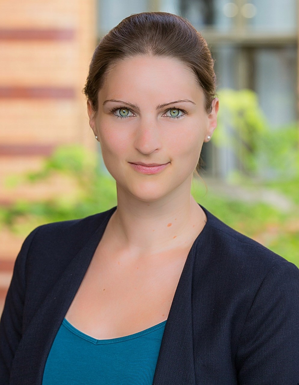
Ricarda Winkelmann (IACS)
When Giants Falter: Tipping Points in Greenland and Antarctica
Storing ice volumes of more than 65 meters sea-level equivalent, the ice sheets on Greenland and Antarctica are by far the largest potential source of future sea-level rise. Their stability hence determines the long-term fate of coastal cities and cultural heritage sites around the world.
While massive in size, the ice sheets also belong to the most vulnerable parts of the Earth system: Feedbacks between ice, atmosphere, ocean and solid earth give rise to nonlinearities in their response to progressing global warming. Once a critical temperature threshold is crossed, this could lead to self-sustained and potentially irreversible ice loss from Greenland and Antarctica.
Here, we review the processes behind these dynamic instabilities, discuss the risk of crossing ice-sheet tipping points in the near future, and explore the resulting impacts on sea-level rise and our global climate – not just for this century, but for the next millennia and beyond.
Our results illustrate how near-term greenhouse-gas emissions will lead to long-term impacts that change the face of our planet. This calls for the need to redefine inter-generational climate responsibility, from near-term human impacts to long-term commitments that determine liveability on Earth.
Ricarda Winkelmann is professor of climate system analysis at University of Potsdam and the Potsdam Institute for Climate Impact Research (PIK) where she leads the Research Group ‘Ice Dynamics’ and co-leads the FutureLab ‘Earth Resilience in the Anthropocene’. She is co-lead of Working Group 1 of the Earth Commission, whose mission is to assess the latest science for the development of safe and just targets for climate, land, water and biodiversity. Trained as a mathematician and physicist in Germany and the United States, her research focuses on the theory and modelling of complex dynamics in the Earth System, including Greenland and Antarctic ice dynamics, ecosystem resilience and tipping elements. Ricarda is co-developer of the open-source Parallel Ice Sheet Model (PISM), and participated in research expeditions to the Andes and Antarctica. In recognition of her work, she was named Young Scientist of the Year by Academics and ZEIT Publishing Group and received numerous awards, including the Karl-Scheel-Prize by the German Physical Society, the E-Learning Award UP for innovative teaching approaches, as well as the Outstanding Early Career Scientists Award by the Cryospheric Division of the European Geosciences Union.
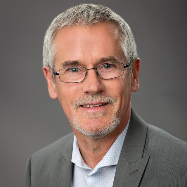
Geoffrey Blewitt (IAG)
Geodesy: It’s About Time
It is said, “Geodesy is the oldest science.” Over 2000 years ago, ancient Greece concluded that the Earth is spherical. Moreover, Sun’s shadows were used to determine Earth’s circumference to within 2%. So, what is meant by “Geodesy: it’s about time”? (1) In a societal sense, “it’s about time” that geodesy is now solving society’s problems, from positioning our devices, to “saving the Earth.” (2) Scientifically, the accurate determination of slow time variations of Earth’s shape, gravity field, and rotation requires an accessible reference frame that is stable in time. Now 60 years into the space age, geodesy uses VLBI, SLR, and GPS to realize a stable reference frame which, together with geodetic satellite missions, can accurately track signals associated with tectonics, interior processes, volcanism, sea level, cryosphere, hydrology, atmospheric loading, water vapor, and climate change. (3) Instrumentally, geodetic observations depend inextricably on the stability of timing, importantly, in the context of general relativity. Continued exponential improvement in clocks (e.g., nuclear transitions) guarantees geodesy will continue to advance. Relativistic geodesy will enable direct sensing of gravitational potential and velocity, hence physical height and orbit parameters. Also, improved clocks could lead to fundamental discoveries. For example, dark matter constitutes 85% of all matter in the universe, yet direct detection remains elusive. Experiments are now using GPS atomic clock data to search for dark matter sweeping through the Earth system. Improved timing, reference frame, and novel techniques together hold the key to geodesy’s future advances for science and society. It’s about time!
Geoffrey Blewitt is a professor at the University of Nevada, Reno, USA, at both the Nevada Bureau of Mines and Geology, and the Department of Physics. Dr. Blewitt’s research focuses on geodesy, reference frames, techniques for very high precision GPS and its application to Earth sciences including plate tectonics, earthquake cycle, surface mass loading, glacial isostatic adjustment, sea-level change, and atmospheric science. He also uses atomic clock data of the GPS satellites to search for new exotic physics, including galactic dark matter and low-mass fields emanating from black hole merger events. His career started at the NASA Jet Propulsion Laboratory, as a leading developer of the GIPSY-OASIS software for millimeter-precise positioning with GPS data using patented techniques. He founded and now runs the Nevada Geodetic Laboratory which processes data from all available geodetic GPS data in the world acquired since 1994, currently from over 18,000 stations. His refereed publications have been cited over 15,000 times, recently averaging over 1,000 citations per year. Dr. Blewitt’s research contributions earned him the Vening Meinesz Medal from the European Geosciences Union, and multiple NASA awards. He is a Fellow of the American Geophysical Union and of the International Association of Geodesy. Dr. Blewitt has served as President of IAG Commission 1 on Reference Frames, as President of the American Geophysical Union Geodesy Section, and as a member of two U.S. National Academies Committees. He earned his Ph.D. in physics from the California Institute of Technology.
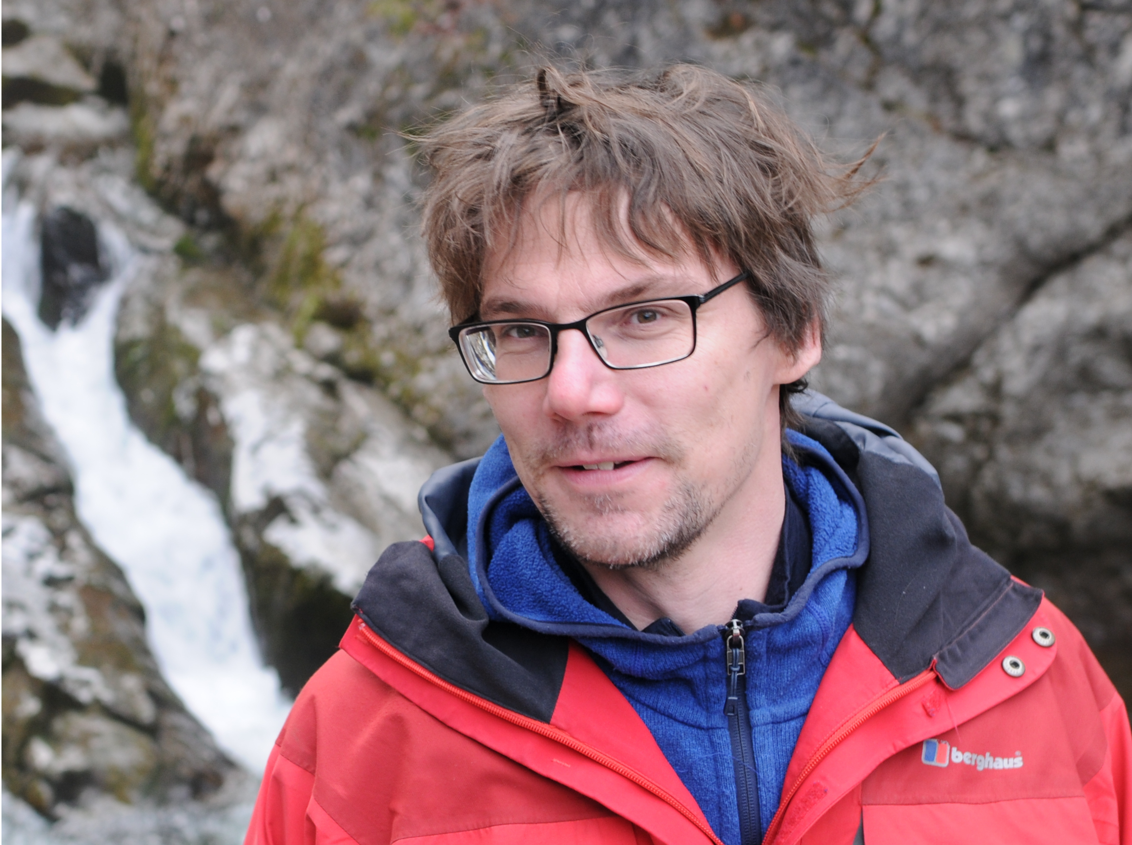
Max Moorkamp (IAGA)
From Ground Water to Tectonic Plates: Imaging the Earth Across the Scales with Electromagnetic Methods
Detailed and reliable models of the subsurface of the Earth provide the basis for many geophysical applications such as natural resource exploration, the assessment of natural hazards and improving our understanding of fundamental Earth processes. In this context, electromagnetic (EM) methods can provide valuable insights as the underlying physical parameter, electrical resistivity, varies over orders of magnitude between crustal fluids and dry rock, for example. As a consequence and due to the significant increase in high-performance computing power, the last ten years have seen an explosion in the usage of electromagnetic surveys in academia and industry. In this talk I will focus on magnetotellurics (MT), a natural source electromagnetic technique, and show the applicability of MT in a variety of contexts: Near the surface EM can help to distinguish saltwater from freshwater and is a key component for the sustainable use of coastal aquifers. In natural resource exploration it is used to estimate the economic prospect of geothermal reservoirs and find deposits of critical minerals which are crucial components of the energy transition. On the largest scale, continent wide surveys such as USArray and AusLamp, for example, provide new insights into the composition and structure of tectonic plates. I will present key findings from recent MT surveys and how they have helped to advance our knowledge of structures and processes within the Earth. I will also discuss future directions for EM investigations such as time-dependent monitoring and the combination with other types of geophysical data.
Max Moorkamp is currently a Heisenberg Junior Research Group Leader at the University of Munich. His research focuses on combining different types of geophysical data to obtain better images of the subsurface of the Earth. In particular, he uses electromagnetic measurements in conjunction with seismology, gravity and magnetics to understand the composition and processes in the crust and upper mantle. He received his Diploma in Geophysics from the University of Goettingen. For his PhD he moved to the Dublin Institute for Advanced Studies, Ireland and developed a new joint inversion approach for magnetotellurics and seismic receiver functions. He received his PhD in 2007 from the National University of Ireland, Galway and joined Geomar, Kiel for postdoctoral position in the industry funded JIBA project. During this time he started developing a 3D joint inversion framework. jif3D, which has formed the basis of his further research and is now used by a variety of research groups worldwide. In 2011 he moved to the University of Leicester as a Lecturer in Geophysics and continued to work on new methods of geophysical data integration. Since 2018 he is working at the University of Munich as part of the German Science Foundation Funded Heisenberg Program. The focus of his work there is to adapt machine learning and medical imaging techniques to geophysical inverse problems.
Luz Adriana Cuartas (IAHS)
HAND Model, a Topography Driven Wet Revolution in Land Surface Sciences
We developed the Normalized Terrain Model HAND (Height Above the Nearest Drainage) using the concept of relative gravitational potential of water on and in the terrain. It is a widely recognized powerful approach for obtaining hydrologicaly relevant maps of soil water environments (or to reveal hidden ground water). As most important, it allows drawing maps of likely water table depth and proxy maps of potential inundation extent around the channel carrying a flood wave. The HAND Model can be applied to any location for which digital topography (Digital Elevation Model – DEM) is available. This creates opportunities for the development of wide range of striking applications, as show several studies that cited and used HAND model: arid lands, artificial neural networks, automatic water body mapping, biodiversity, biogeochemistry, biogeography, biomass mapping, climate, deforestation, Digital Elevation Model, drainage network, ecology, ecophysiology, edaphology, Enhanced Vegetation Index, environmental policy, environmental systems, erosion, expert systems, floods, fluviography, forest drought response, forest inventory, geography, Geographical Information System, geology, geomorphology, geostatistics, groundwater contamination, groundwater potential, hydrology, hydrometeorology, hydraulics, hydro energy generation, landslides, landscape classification, land-use conversion, machine learning, modeling, mosquito breeding areas, natural disaster, paleobotany, pedology, plant demography, remote sensing, riparian science, risk assessment, sediment movement, social-ecological resilience, soil erosion, soil water thermodynamics, synthetic aperture radar mapping, terrain mapping, topography, transpiration patterns, water resources, wetlands, etc.
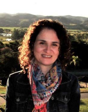
Luz Adriana Cuartas is, since 2014, a scientist in hydrology at the Brazilian National Center for Monitoring and Early Warning of Natural Disasters – CEMADEN and Visiting Researcher at the Division of Water Resources, Lund University since August 2022. She holds a Civil Engineer degree and a Water Resources MSc from the National University of Colombia, and a Meteorology PhD from the Brazilian National Institute for Space Research (INPE) – University of Campinas. She worked at INPE, in the Earth System Science Center – CCST as a hydrology and hydro-meteorology scientist (2008-2014), where she is also a professor at the PhD Program in Earth System Science PGCST/INPE. Since 2020, she is also a professor at the Graduate Program in Natural Disasters CEMADEN – UNESP. She has participated in projects and consulting activities on hydrology, hydrometeorology, biosphere-atmosphere interactions, and the impact of land use and climate change on water resources, with observational studies and hydrological modeling of micro, meso and macro scale catchments. She has participated in collective interest educational outreach programs through short courses on hydrology, climate change and modeling, offered in Brazil and abroad. She is a key co-author of a revolutionary Normalized Terrain Model HAND (Height Above the Nearest Drainage), which can be applied in mapping water soil conditions and predicting the potential depth of the water table across the landscape and also the potential flood extent using only digital topography. She developed and applied new approaches for hydrological modeling in the prediction of hydrological scenarios in basins under risk of water scarcity. Adriana is working on the understanding and assessment of Hydrological drought at different spatial and temporal scales, and how it could impact hydropower generation in Brazil.
A.R. Ravishankara (IAMAS)
Are People in Developing Countries Paying with Their Lives to Reduce Climate Change?
Air pollution is widespread in developing countries as they try to enhance their economic output and provide much-needed resources to their citizens. In this endeavor, particulate matter pollution (known as PM in the air quality community or aerosol in the climate community) has increased. The same particulate matter also helps reduce these countries’ contribution to climate change since they scatter sunlight and alter clouds, thus reducing climate forcing.
I will discuss this dual role of particulate matter and describe our findings on their contributions to climate change and human health. I will mainly focus on India’s health impacts (quantified in terms of premature mortality), whose air quality is often in the news. I will talk about the science behind answering the question in the title. You can decide how best to address the juggernaut of a problem facing developing countries as they try to cope with air quality and climate change.
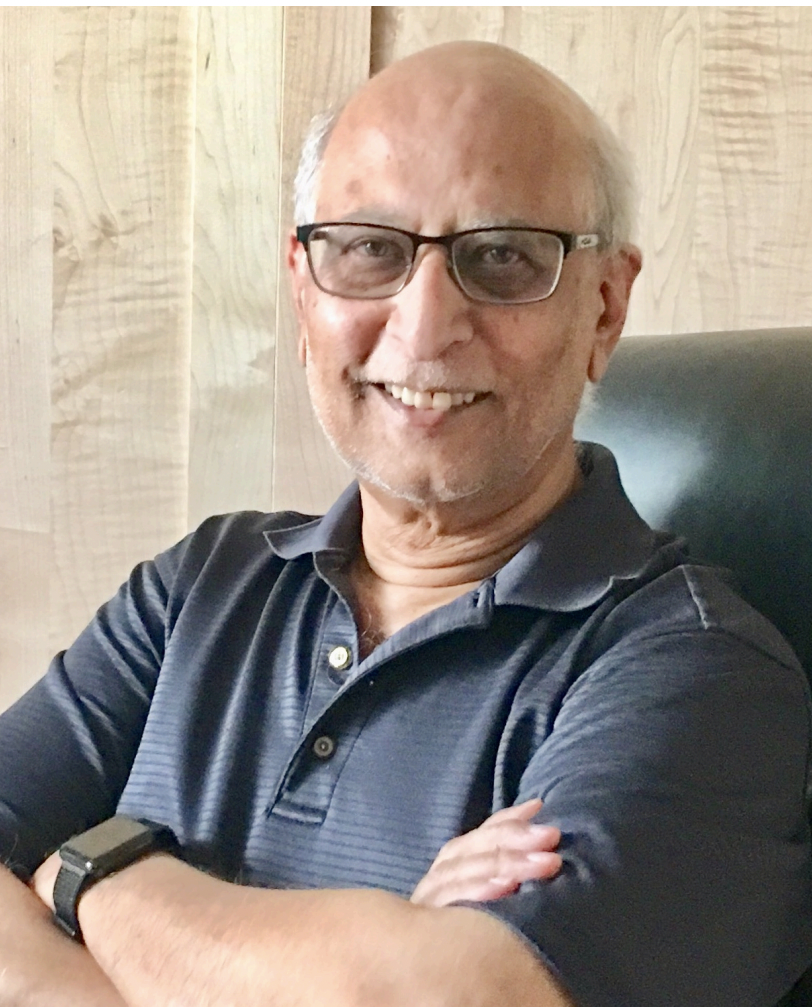
A.R. Ravishankara is a University Distinguished Professor in the Departments of Chemistry and Atmospheric Science at Colorado State University. Previously, he was at NOAA as the director of the Chemical Sciences Division (formerly Aeronomy Laboratory) at NOAA’s Earth System Laboratories in Boulder. Over the past four decades, he has worked on the chemistry of the Earth’s atmosphere related to stratospheric ozone depletion, climate change, and air quality. His laboratory and Earth’s atmosphere measurements have contributed to deciphering the ozone layer depletion, including the ozone hole; quantifying the role of chemically active species on climate; and advancing understanding of air pollutants’ formation, removal, and properties. He is a member of the US National Academy of Sciences, a Foreign Member of the Royal Society (London), a Foreign Fellow of the Indian National Science Academy, and Fellows of AGU, the Royal Society of Chemistry, AAAS, and IUPAC. His many awards and recognitions include an honorary doctoral degree from the University of York in the UK, Montreal Protocol’s Scientific Leadership Award, the Polanyi Medal of the Royal Society of Chemistry, the Stratospheric Ozone Protection award of the US Environmental Protection Agency, the Silver Medal of the US Department of Commerce, NAS Robertson Memorial Lecture and Medal, and the American Chemical Society’s award for Creative Advances in Environmental Sciences.
Martin Visbeck (IAPSO)
The UN Decade of Ocean Science for Sustainable Development – A Call for Action to Broaden the Ocean Science Agenda
In recognition of the Ocean’s importance “to an equitable and sustainable planet”, the United Nations have pronounced 2021-2030 as the Decade of Ocean Science for Sustainable Development. What will “the Ocean we need for the future we want” look like? And how can we transform human behavior to become more sustainable? And what are the expected impacts on the ocean. Realizing that the ocean dimension of sustainable development should be underpinned by inclusive knowledge, the Ocean Decade identifies ten challenges to deliver “the science we need for the Ocean we want”.
Despite the rapid and exciting growth on ocean observations from space, ships and robots, the ocean remains significantly under observed. This is particularly true away from Northern Hemisphere coasts and in the deep ocean. The Ocean Decade calls for a step change in ocean observing by increasing and globally sharing observing capabilities; fully exploiting the trend to more robots, cheaper sensors; and engaging a broad actor bases including the global South, the private sector and citizen where possible.
Ocean science understanding has enabled the development of increasingly complex ocean models that become more realistic and have demonstrated useful predictive power. New opportunities arise from more powerful computing system, machine learning approaches and innovative data model fusion approaches. The Ocean Decade calls for those models to become more user-friendly, better resolved near the coasts and more holistically covering all aspects of the ocean from physics, chemistry, biology, and ecology and interactive with its boundaries such as the atmosphere, the seafloor but also to coastal zone.
Both Ocean observations and models produce a rapidly increasing amount of data and information that needs to be shared and used widely. The Ocean Decade calls for a step change in data curation, data interoperability fully implementing the FAIR (Findable, Accessible, Interoperable, and Reusable) and CARE (Collective Benefit, Authority to Control, Authority to Control, Responsibility, Ethics) principles. Moreover, we need to ensure that ocean education and trainings reflect these new digital opportunities and access is enabled for all.
A new and exciting field of activity is rapidly developing in the space of a Digital Ocean. Specifically, Digital Twins of the Ocean (DT), which are digital replicas of real-world objects. Observational and model data are fed into the DT, producing an accurate representation of the current state of the physical object (the ocean), but also providing the opportunity to predict its future development depending on human interventions. By including, in addition to the natural dimension, also the human dimension of the ocean system, DTs can visualize socio-economic factors such as ocean-use change, pollution or habitat destruction. By illustrating different possible mitigation or adaptation scenarios, for example the construction of a dike to mitigate sea level rise, the DTO allows its users to answer ‘what if’ questions. DTs thus enable the anticipation of desired outcomes or undesirable consequences of human-environment interactions, greatly facilitating policy and decision-making processes.
The value of DTs comes from the ability to support informed decision making. And due to their expected easy accessibility, DTs can be used by a variety of stakeholders: by scientists to understand the ocean, by policymakers to make well-informed decisions, and by citizens to improve ocean literacy. As such, DTs present a valuable opportunity to future-proof sustainable development. Creating a DTO requires a multidisciplinary approach: data scientists to identify the gaps in ocean data and decide upon interoperable data standards, ocean modelers to improve model accuracy and resolution, IT experts to advance HPC, ML and AI infrastructures and scientific visualization experts to deliver the data in a comprehensive, user-friendly manner.
Thus, the Digital Twin example illustrates that the Ocean decade expects the science system to grow more in the dimension of use inspired knowledge generation by transdisciplinary approaches. Scientific Unions such as IUGG are well placed to provide the natural science that is needed and at the same time are encouraged to form new partnerships with other communities to exchange, enhance and share new knowledge widely.
IUGG, the UN Ocean Decade and related programs all require open and inclusive cooperation across the globe despite increasing geo-political challenges. Ocean Sustainability requires global cooperation and alignment and the science community is well positioned to realize this ambition.
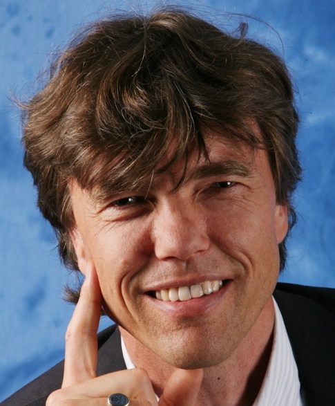
Martin Visbeck is head of research unit Physical Oceanography at GEOMAR Helmholtz Centre for Ocean Research Kiel and professor at Kiel University, Germany. His research interests revolve around ocean’s role in the climate system, ocean circulation, upwelling systems, integrated global ocean observation, digital-twins of the ocean and the ocean dimension of sustainable development. He led the ‘Future Ocean’ Network in Kiel to advance integrated marine sciences by bringing together different disciplines to work on marine issues. He serves on a number of national and international advisory committees including member of the Governing Board of the International Science Council (ISC), Joint Scientific Committee of the World Climate Research Programme (WCRP), Research Board of the World Meteorological Organization (WMO), leadership council of the Sustainable Development Solutions Network (SDSN), and past member of the Interim Decade Advisory Board for the UN Decade of Ocean Science Decade for Sustainable Development 2021-2030 and the EU ocean mission board assembly. He was elected fellow of the AGU, AMS, TOS, ISC and the European Academy of Sciences. Martin Visbeck is involved in strategic planning and decision-making processes about the ocean and sustainable development at a national, European and global level.
Philippe Lognonné (IASPEI)
SEIS on Mars: First legacy after 4 years of seismic monitoring of Mars
SEIS, the international seismometer of NASA’s InSight mission, has operated on Mars from February 2019 until mid-December 2022. Its careful installation and shielding allowed the Very-Broad-Band sensors of SEIS to reach ultra-low noise during the much of the night. Noise was much larger during the rest of each day but still 10 times less than the quietest sites on Earth in the 0.1-1H bandwidth.
1319 events were detected including a Mw=4.7 marsquake, which excited surface waves and likely normal modes and 90 teleseismic events down to Mw=2.5 and for the 40 largest one with determined distances. 8 impacts were also confirmed by orbital crater imaging, two with very large craters. During the windy period, SEIS also detected several thousand pressure drops associated with atmospheric vortices, and during sunset thousands of very shallow local thermal cracks.
We present a summary of the SEIS seismic discoveries. These include the first models for the subsurface and crust, for the thermal lithosphere and deeper mantle transition zone as well as the determination of the core radius. We present also results in term of anisotropy, seen by body waves and surface waves, attenuation and scattering. Seismic source analyses have determined magnitude, depth and centroid moment tensors for the largest marsquakes and provided better understanding of impact processes, including partitioning of blast energy in the subsurface and atmosphere.
Finally, InSight contributed to the return of planetary seismology and 4 missions in development have seismometers. We therefore conclude with perspectives for the future of planetary seismology.
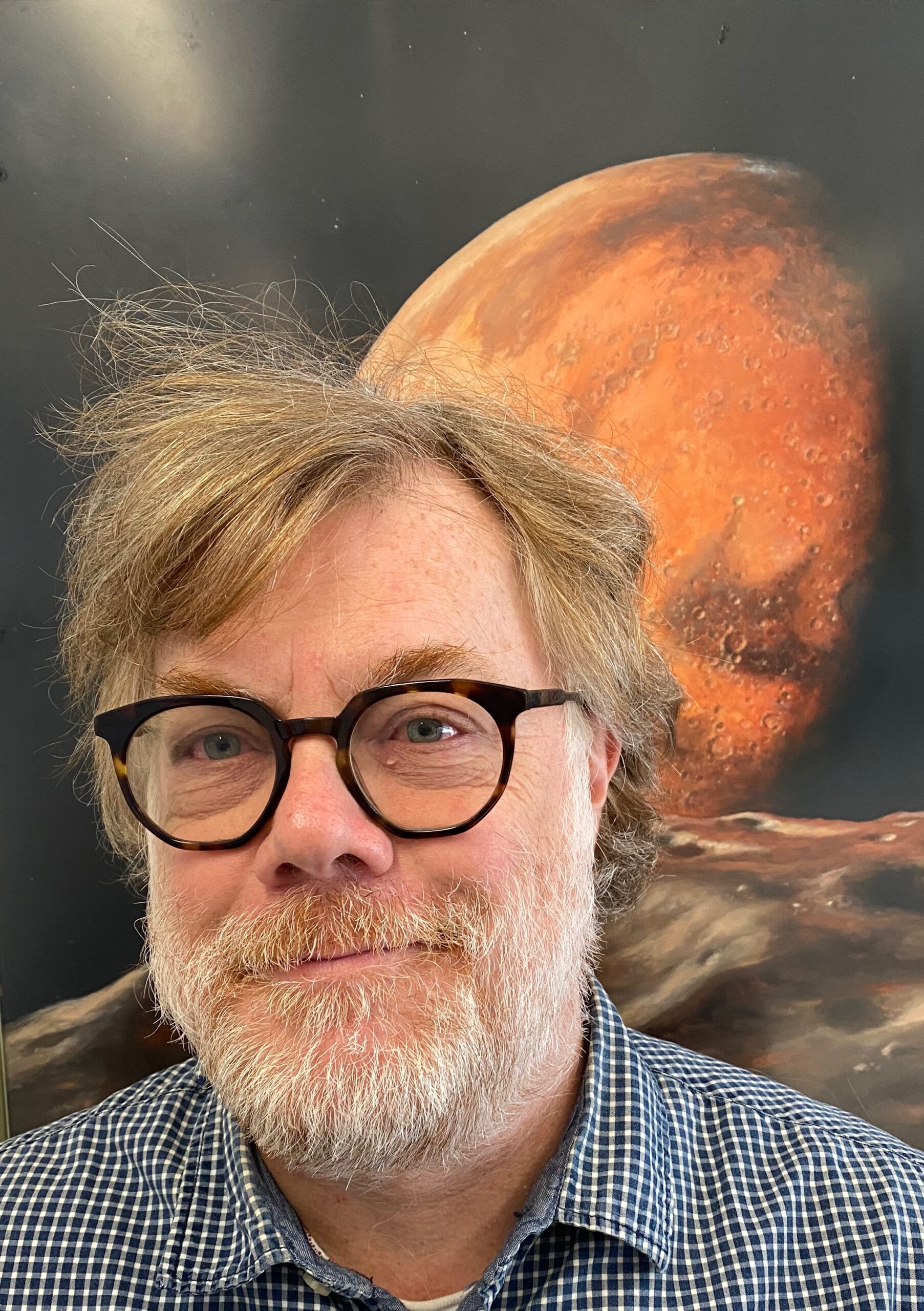
Philippe Lognonné, 59 years, is professor in Geophysics at University Paris Cité and planetary seismologist at the Institut de physique du globe de Paris. He performs his research in the Planetary and Space Science team which he founded in 1996 and he is director of the French National Observation Service in Planetary seismology. His research is related to long period seismology, to the seismic coupling of telluric planets with their atmosphere and ionosphere and to Planetary Geophysics and seismology. In the last decade, he was principal investigator of the SEIS experiment on the NASA InSight mission (landed on Mars by the end of 11/2018), lead co-investigator of the VBB seismometer in the JPL lead Farside Seismic Suite experiment to the Moon (to land on the Moon in 5/2025) and PI of the TWIST project funded by the Office of Naval Research, aiming to invert ionospheric data for retrieving the amplitude of tsunamis.
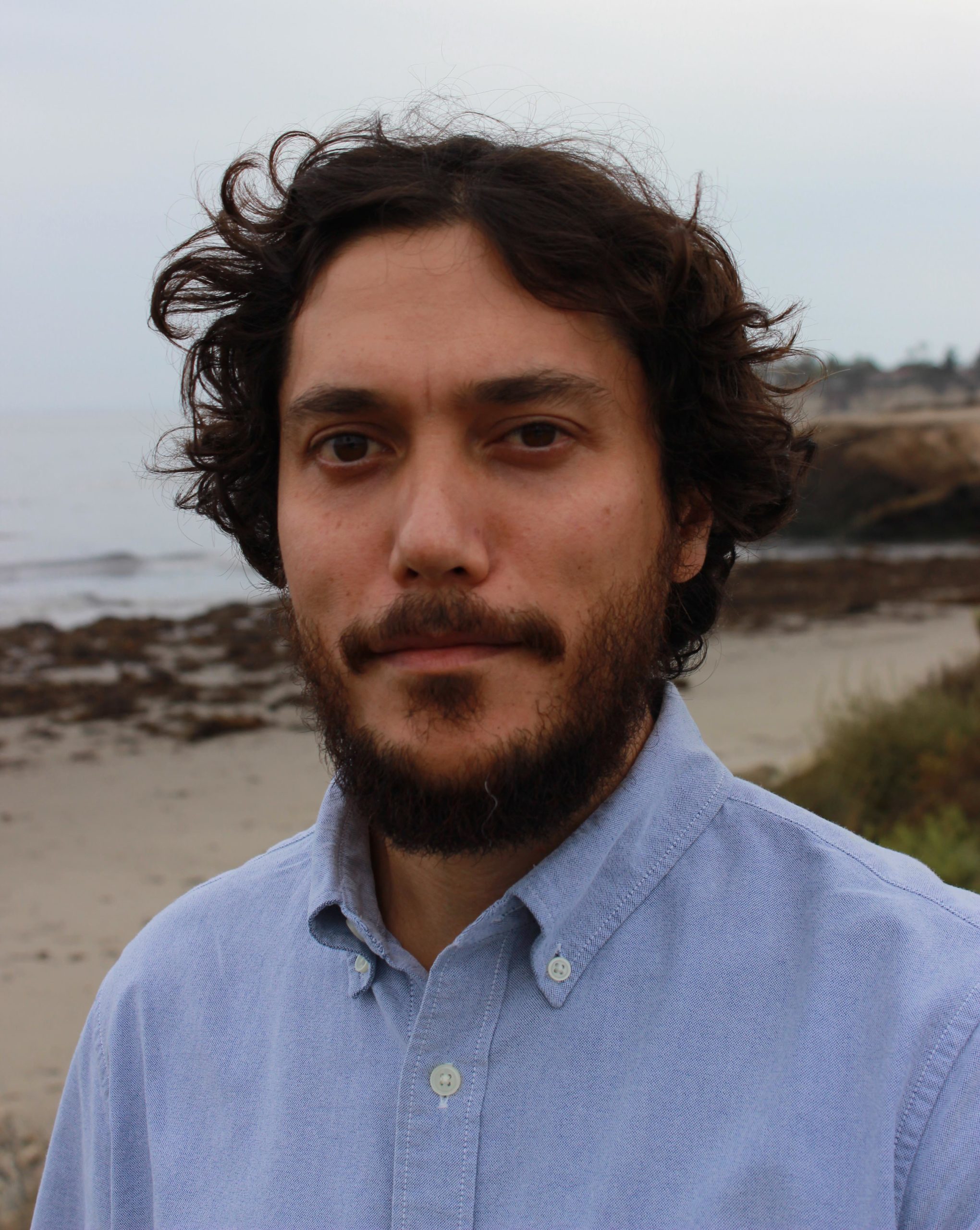
Robin Matoza (IAVCEI)
Advances in global volcanic eruption monitoring and cataloging using seismo-acoustic observation systems
Volcanic eruptions produce a broad spectrum of atmospheric waves, including acoustic-gravity waves, infrasound, and audio-range acoustic waves. The study of atmospheric waves from volcanic eruptions traces back to 1883, when over 50 weather barometers around the world recorded long-period pressure disturbances from the cataclysmic VEI 6 eruption of Krakatau, Indonesia. Some early twentieth-century volcanological studies gave equal emphasis to barograph (infrasound and acoustic-gravity wave) and seismograph observations, but volcano seismology rapidly outpaced volcano acoustics and became the standard geophysical volcano-monitoring tool. Recent rapid advances in infrasound science and technology have now established the role of regional (15–250 km) and remote (>250 km) ground-based acoustic systems in volcano monitoring. The climactic eruption of Hunga volcano, Tonga on 15 January 2022 highlights the exceptional capability of multi-technology geophysical observations systems that are now in place for capturing global volcanic activity. This event produced atmospheric waves unprecedented in the modern geophysical record, with the prominent Lamb wave observed propagating around the Earth for the same number of passages (four plus three antipodal) as the historic 1883 Krakatau eruption. As measured by the Lamb wave amplitudes, the Hunga explosion was comparable in size to that of the 1883 Krakatau eruption and over an order of magnitude greater than that of the 1980 Mount St. Helens eruption. Here I present recent advances in observation and monitoring of Earth’s global volcanic activity using seismo-acoustics, infrasound, and atmospheric waves.
Robin Matoza is an Associate Professor of geophysics at the Department of Earth Science, University of California, Santa Barbara. His research is primarily in seismology, infrasound, and seismo-acoustics, especially as applied to volcanic processes and eruption dynamics. This work is focused on understanding the geophysical signatures of volcanic unrest and eruption, with application in monitoring and mitigating volcanic hazards. More broadly, his research covers varied aspects of seismo-acoustics, including numerous natural and anthropogenic sources as well as atmospheric infrasound propagation. Matoza has authored over 70 peer-reviewed scientific papers and book chapters. He received an MGeophys from the University of Leeds, UK, and a PhD in Earth sciences at the Institute of Geophysics and Planetary Physics (IGPP), Scripps Institution of Oceanography. He was a postdoctoral researcher at the CEA, France, and a Cecil H. and Ida M. Green Scholar at IGPP. He has been the recipient of an NSF CAREER Award and a Comprehensive Test-Ban Treaty Organization (CTBTO) Research Award for Young Scientists.
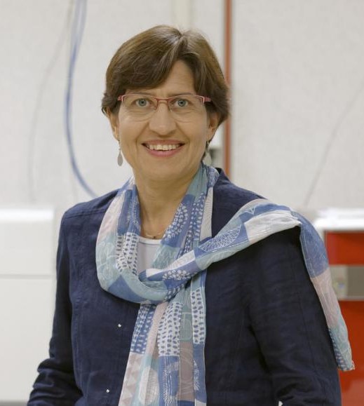
Valérie Masson-Delmotte
From the IPCC AR6 to the IPCC AR7: the physical science basis of climate change empowering transformations
How to best achieve a robust assessment of the state of knowledge regarding recent and future changes in the physical climate system and human influence, at the global and regional scales, building on all available lines of evidence – paleoclimate, observations, process-based understanding, global and regional climate modelling and climate services? Which climate information is relevant for decision makers and end-users, how to make it accessible, and how to communicate it clearly?
The new structure of the Intergovernmental Panel on Climate Change (IPCC) Sixth Assessment Report (AR6) Working Group I (WGI, physical science basis) 2021 climate report was designed in 2017, in the context of the post-2015 global development agenda, to assess the state of scientific knowledge related to current and future global and regional climate change, building on these multiple lines of evidence, and to provide physical climate information relevant to inform response options, both for regional risk assessment and adaptation, and geophysical conditions to limit future warming.
I will summarize how advances in climate science were incorporated within the IPCC AR6 framework, highlight the novel aspects of the assessment, identify the limits of the AR6 climate science assessment and knowledge gaps. I will share particularly sensitive issues during the preparation of the WGI report (writing, review, approval) and develop a set of recommendations for the AR7, from the perspective of the relevance of climate science advances to empower transformations, and building on outcomes of a survey of the AR6 WGI authors.
Valérie Masson-Delmotte’s professional activity has three main dimensions related to advances in climate sciences: basic scientific research; climate change expertise, to inform climate action; and climate outreach, to strengthen climate literacy.
Current functions
- Senior scientist, CEA, Laboratoire des Sciences du Climat et de l’Environnement / Institut Pierre Simon Laplace (Université Paris Saclay, France)
- Co-Chair, Working Group I (Physical Science Basis) of the Intergovernmental Panel on Climate Change (IPCC) for the 6th Assessment Cycle (2015-2023)
- Member of the French national climate change committee (hautconseilclimat.fr) (2018-2024)
- Member of the Frenh national ethics consultative committee (since 2022)
Climate science
- Quantifying and understanding the mechanisms of climate and atmospheric water cycle changes, using reconstructions based on stable isotopes from natural archives (ice cores and tree rings), and modelling.
- Reconstructing past climate dynamics in Europe, Tibet, Greenland and Antarctic at glacial-interglacial, abrupt events, last millennia time scales.
- Monitoring water isotopes in precipitation and water vapour in Tibet, along the North Atlantic and in Greenland and Antarctica to understand the processes controlling the signals recorded in ice cores from Tibet, Greenland, Svalbard and Antarctica
- Benchmarking climate models using paleoclimate and water stable isotope information and constraining future changes using paleoclimate information (climate sensitivity, climate feedbacks, abrupt changes, irreversibility, ice sheet contributions to sea level rise)
- Coordination of research projects funded by
- Shaping international research strategies as member of steering committees of international research programmes (eg. prior to 2015, PAGES, IPICS and IUGG/IACS).
- Strengthening interdisciplinary research developments – bridging climate science with glaciology, plant ecophysiology, agronomy, health sciences, history of science, archeology, environmental psychology
Track record
- Co-author of 255 publications in the peer-review literature (h-index 82, 30,000 citations, with 687 co-authors from 47 countries – Web of Science). Full publication list available here : https://www.webofscience.com/wos/author/record/G-1995-2011
- Highly Cited Researcher in the Geosciences (2014-2019) and Cross-Field (since 2020)
- Supervision of 22 PhD student and 5 post-doctoral early career scientists. Member of 20 PhD and habilitation theses committees (France, Netherlands, Switzerland, Australia, UK)
- Doctor Honoris Causa from universities of Utrecht, KU Leuwen, Bern, and from the Tibetan Plateau Research Institute in Beijing
- Numerous scientific recognition awards: Descartes Prize from the European Commission (2008), Irène Joliot Curie (2013), Martha T. Muse for Antarctic Science (2015), Nature’s 10 (2018), CNRS silver medal (2019), Academy of Agriculture (2019), EGU Milankovicz medal (2020), SCAR President medal (2020) and IUGG gold medal (2023)
- Member of Academia Europaea and French Academy of Technology
Expertise
- Assessing the current state of knowledge related to climate change, for the Scientific Committee on Antarctic Research (2009), and the IPCC (Lead Author, 2007; Coordinating Lead Author, 2013); co-supervision of several IPCC Sixth Assessment Reports (see publications)
- Coordinating IPCC workshops leading to agendas of research and action (Cities and Climate Change in 2018; Culture, Heritage and Climate Change in 2021).
- Providing scientific advice as member of advisory science committees (e.g. Région Ile-de-France, Institut Océanographique, Institut National du Service Public, currently; previously, AXA fund for research, Universciences, Committee of Polar Environment, Parliamentary Office for science and technology, French government research strategic advisory committee)
Outreach
- In my IPCC Co-Chair role, major achievements in the dissemination of outreach products (regional and sectorial fact sheets, interactive atlas, summary for all, design of visuals) making state-of-the-art climate science outcomes more broadly accessible (recognized by the Time 100 ranking with my fellow co-chair, Panmao Zhai, in 2022)
- Presentation of IPCC reports at UNFCCC COP meetings (COP24, COP25, COP26) and multiple formal presentations for national assemblies
- Author of several books for children, and for the general public, related to climate science (eg. Greenland, climate, ecology and society, CNRS, 2015; Climate in 30 questions, La Documentation française, 2022 – in French)
- More than 150 public conferences each year since 2018, related to IPCC reports, climate science, and climate action, and multiple interviews
- Experience in enhancing climate literacy through training sessions with journalists, teachers, government and government advisors, city decision makers…
- Communication of climate science related to knowledge developments on social networks (@valmasdel on twitter, with 26 millions of views in 2022)
Education
- Engineer degree and Master (Ecole Centrale de Paris), in energetics and physics of fluids (high honours, 1993)
- PhD on past climate modelling (Ecole Centrale de Paris, with high honours, 1996)
- Habilitation to supervise research (Pierre et Marie University, Paris, 2004).
